His Name Is on Two Continents. He Didn’t Even Lead the Voyage.
North America and South America together span two of the largest landmasses on Earth, and both carry the name of the same man: Amerigo Vespucci, a Florentine merchant and navigator. Christopher Columbus made the crossing in 1492. Vespucci’s voyages came later, starting in 1499. He commanded nothing historic in 1492, held no royal title, and had no authority to christen new territories. And yet his first name is stamped across nearly half the globe’s landmass.
So how did that happen?
Nobody Ever Officially Decided This
There was no ceremony, no royal decree, no committee of scholars that voted on what to call the New World. Geographic names in the fifteenth and sixteenth centuries emerged from usage, from maps, from books that traveled alongside maps. Whichever name appeared on the most-circulated charts was the one people remembered and repeated.
That points to a genuine puzzle: if no authority ever ruled on the matter, how did a single name win out in every language and every atlas that followed? It turns out something tipped the balance, one man’s editorial judgment.
A German Mapmaker Made a Personal Decision in 1507
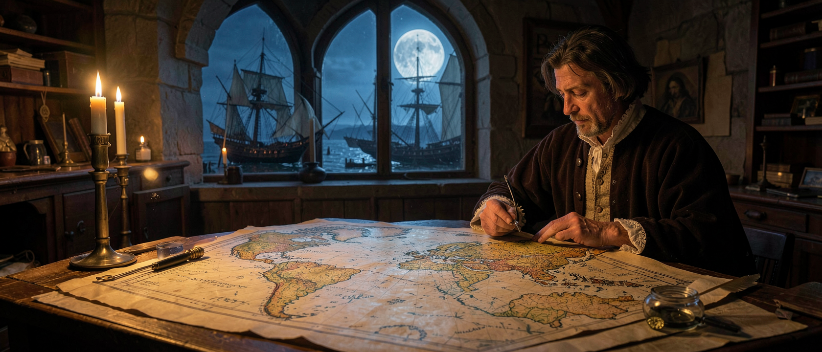
In 1507, German cartographer Martin Waldseemüller published a large printed world map from Saint-Dié-des-Vosges, then part of the Holy Roman Empire. A companion text, Cosmographiae Introductio, written mainly by Waldseemüller’s colleague Matthias Ringmann, reprinted accounts of Vespucci’s voyages and proposed that the newly charted southern landmass be named “America”, a Latinized feminine form of “Amerigo,” following the convention of giving continents feminine Latin names. The map placed “America” across what we now call South America.
The reasoning behind the choice: Vespucci had argued publicly that these lands were not part of Asia but a previously unknown continent, something Columbus never conceded about his own discoveries. Whether that argument was historically fair is a separate debate. What mattered in 1507 was that the map spread. Approximately 1,000 copies are believed to have been printed, and no competing name appeared on anything as widely distributed. Waldseemüller’s personal editorial call quietly hardened into convention.
For Thirty Years, Only One Continent Had the Name
When Waldseemüller wrote “America” on his 1507 map, he meant only the southern landmass. The northern one had no agreed name for more than three decades. Then Flemish cartographer Gerardus Mercator published a world map in 1538, labeling both explicitly: “America. The northern part” and “America. The southern part.” A second cartographic decision, building on the first, effectively doubled the territory associated with Vespucci’s name, with no coordination and no official process behind either one.
The Continents Could Have Been Called Something Else
“America” was not the inevitable outcome. “Columbia,” derived from Columbus’s surname, and “Christopha,” drawn from his first name, were both plausible alternatives. Waldseemüller himself apparently grew uncertain: on his 1516 map, the Carta Marina, he dropped “America” entirely. Scholars suggest this was partly due to political pressure from Spain, which had financed Columbus’s voyage and did not warm to naming the New World after someone else. But by 1516, the 1507 map had already been circulating for nine years. There was no retrieving it.
One surviving copy of Waldseemüller’s 1507 map was rediscovered in 1901 at Wolfegg Castle in southern Germany and purchased by the Library of Congress in Washington, D.C. for $10 million. Sometimes called “America’s birth certificate,” the document that named a continent sat lost in a German castle for most of the period after it was printed, while the name it proposed circled the globe regardless.