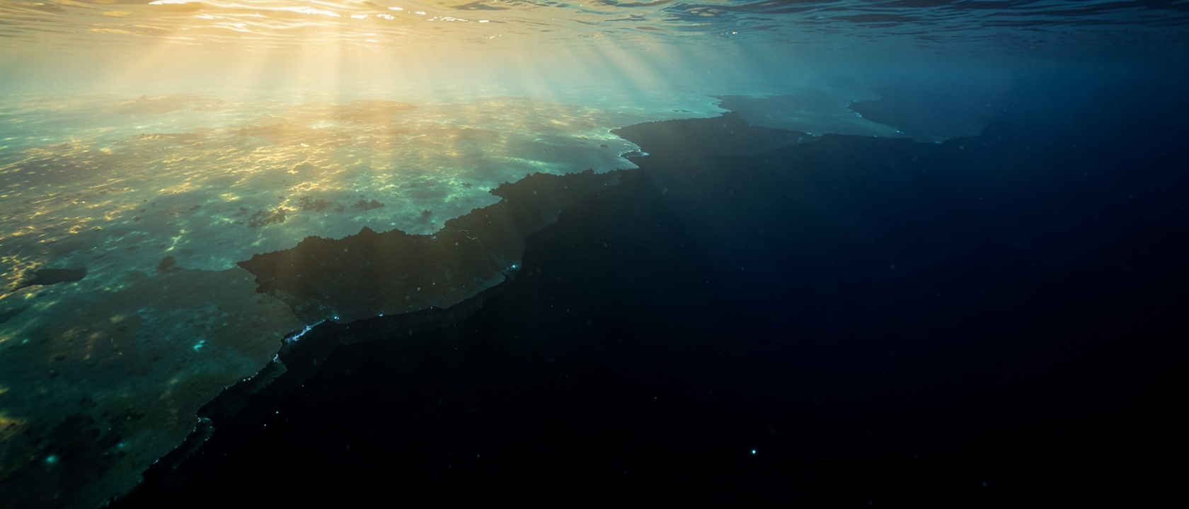
We Know Mars Better Than Our Own Backyard
Spacecraft have photographed Mars from orbit in enough detail to chart individual craters and ridges. The Moon has been mapped with similar precision. Meanwhile, Earth’s oceans cover roughly 140 million square miles, about 71% of this planet’s surface, and as of April 2026, only about 28.7% of the seafloor had been mapped with modern high-resolution sonar. NOAA describes roughly 80% of it as “unmapped, unobserved, and unexplored.”
The alien landscapes people picture on distant worlds have closer analogues beneath the ocean covering most of this one.
Why the Ocean Is So Hard to Map
The problem is not effort, it is physics. Satellites can photograph a dry planetary surface because radar and light travel freely through the vacuum of space and reflect cleanly off rock. Seawater blocks the electromagnetic signals that make satellite imaging work. So ocean mapping relies on sonar, which bounces sound pulses off the seafloor and times their return. It works well, but it is slow, ship-dependent, and expensive.
Scale makes everything harder. The Pacific Ocean alone covers more area than all of Earth’s landmasses combined. You cannot survey that from orbit the way you can a bare, airless surface. An international collaboration called Seabed 2030, run by the Nippon Foundation alongside a scientific network called GEBCO, is working to produce a complete ocean floor map by 2030. Progress is real. But less than 0.001% of the deep seafloor has ever been seen by human eyes.
The Ocean Floor Has a Structure, and It’s Dramatic
Most people carry a mental image of the seafloor as a flat, featureless plain stretching into darkness. That image is wrong in almost every particular.
Start from shore and imagine walking out into the sea. For the first stretch, on average about 40 miles (65 km), you are on the continental shelf, the submerged rim of the continent itself. It slopes gently, at roughly a tenth of a degree. Sunlight reaches the shallowest parts; nutrient-rich sediment washes in from rivers; life is dense. This is the part of the ocean floor that hosts the fisheries that feed billions of people, and its rock formations often hold oil and gas reserves.
Then comes the shelf break, somewhere between 328 and 656 feet (100 to 200 m) below the surface. And the bottom drops away.
The Shelf vs. the Slope: Where Familiar Ends and Unknown Begins
The continental slope begins where the shelf ends, descending to between roughly 9,800 and 16,400 feet (3,000 to 5,000 m) below sea level. Its average angle is about 4 degrees. That sounds modest, but it means thousands of feet of vertical drop within just a few horizontal miles, a descent that would dwarf most mountain ranges if you could see it above water.
The continental shelf accounts for only about 8% of the total ocean floor, and it is by far the best-studied portion. Everything beyond the slope is colder, darker, and oxygen-depleted. The sediment carried down that steep face eventually settles at the base, building up the continental rise, which in turn grades into the abyssal plain below.
The Geography We Have Never Seen
The abyssal plain, the wide expanse at depths of roughly 14,700 to 19,700 feet (4,500 to 6,000 m), covers about 70% of the ocean floor. No sunlight reaches it. Millions of years of settling sediment have made it the flattest terrain on Earth.
Flat, though, is only the beginning. The Mid-Ocean Ridge is the longest continuous mountain chain on Earth, running through every ocean basin, averaging nearly 1,000 miles (1,600 km) in width, and rising between 4,900 and 9,800 feet (1,500 to 3,000 m) above the surrounding floor. New seafloor is continuously created along it by volcanic activity. Most of it has never been seen up close.
At the far end of the depth scale sits the Mariana Trench, in the Pacific, where the seafloor drops to nearly 36,000 feet (about 11,000 meters), the deepest point on Earth. Submarine canyons carved into the continental slope, like the Monterey Canyon off California, rival the Grand Canyon in scale.
All of these features are confirmed to exist. Their detailed topography, their geological activity, and the species living in them remain almost entirely unknown. The seafloor is not a mystery because it is empty. It is a mystery because it is full, and the survey has barely started.